

Undai Series
Undai Products
Packed with sophisticated positioning and tracking capabilities, including auto-orientation, tilt and polarization correction, and dynamic helicopter tracking, this high-precision tracking head ensures unmatched performance. We provide customized solutions designed for your operational needs, ranging from mobile vehicle-mounted configurations to compact units.
Product Lineup
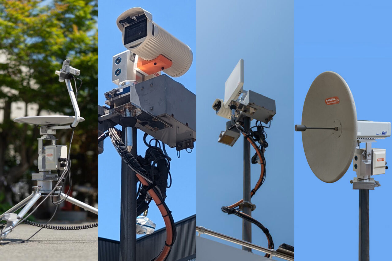
PRO-100 Compact Undai
A lightweight, compact Undai version suited to many purposes, including satellite communication (VSAT), Wi-Fi, and automatic direction adjustment.
Learn more →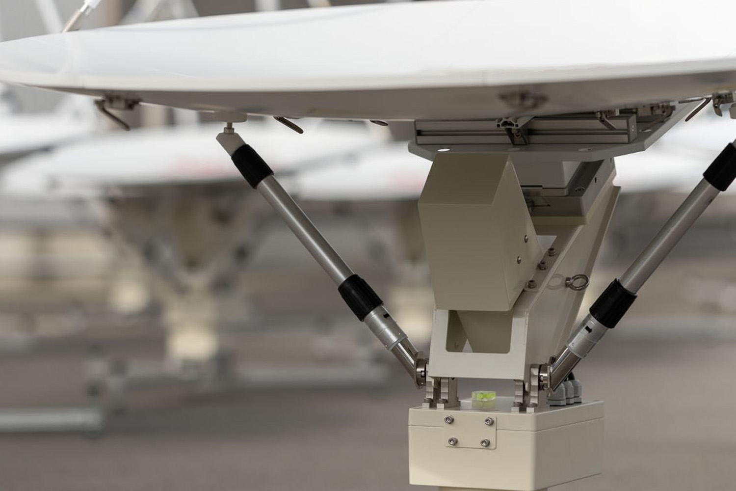
PRO-200 Undai
Undai specially designed for satellite communication (VSAT) systems requiring high directional-adjustment precision.
Learn more →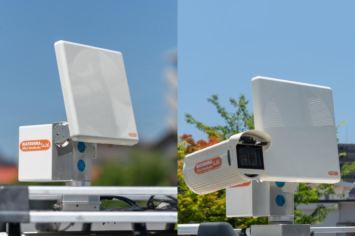
PRO-300 Multi-Rotation Undai
A dual-axis, multi-rotation Undai for building-mounted and vehicle-mounted Wi-Fi antennas. Standard lineup software features 'Auto Direction' and 'Peak Search' to establish optimal communication conditions.
Learn more →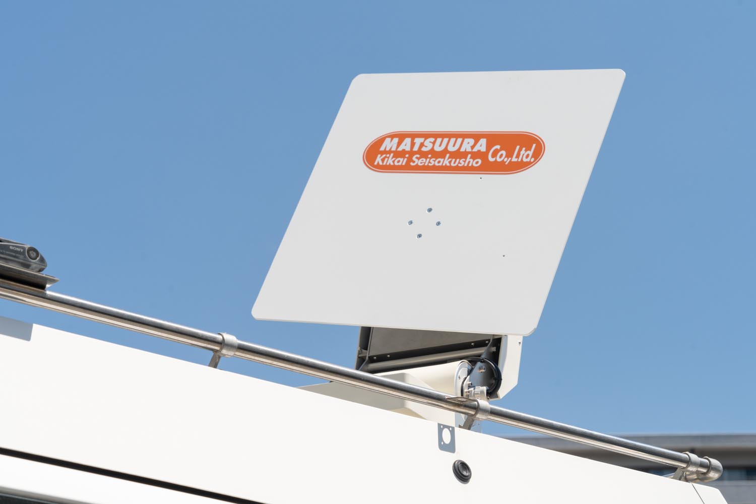
PRO-400 Vehicle-Mounted Undai
A 3-axis vehicle-mounted Undai offering complete control over azimuth, elevation, and polarization angle.
Learn more →
PRO-500 Helicopter Auto-Tracking Undai
This unit is used to quickly and reliably receive video signals transmitted from a mobile relay station in the field.
Learn more →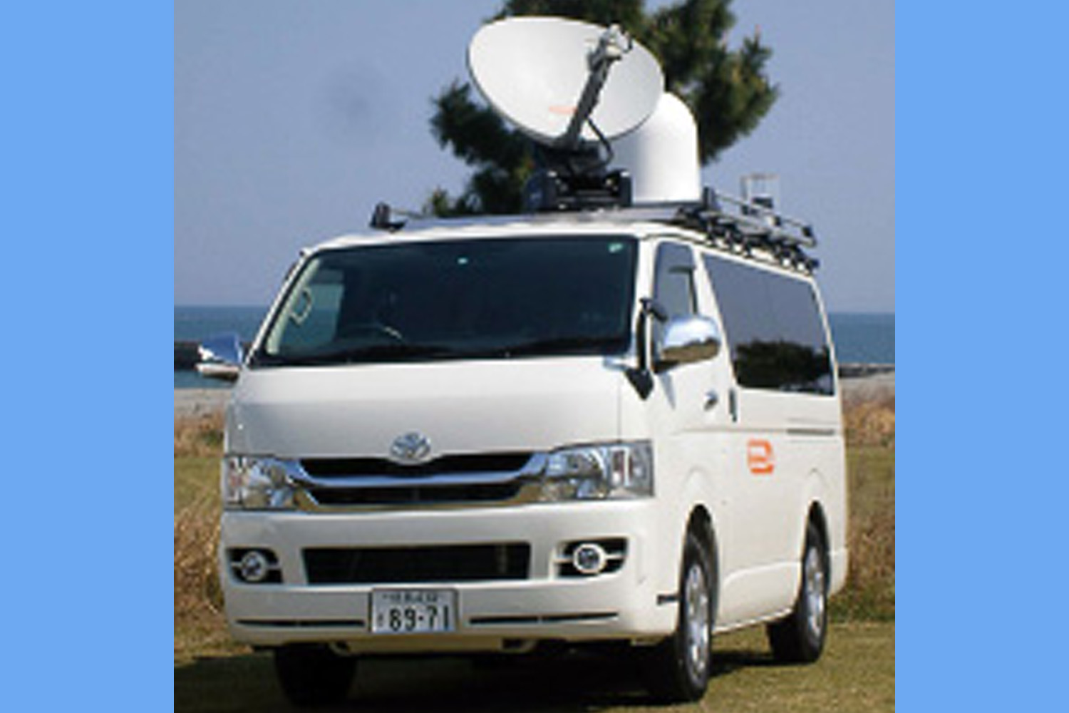
Products by Application
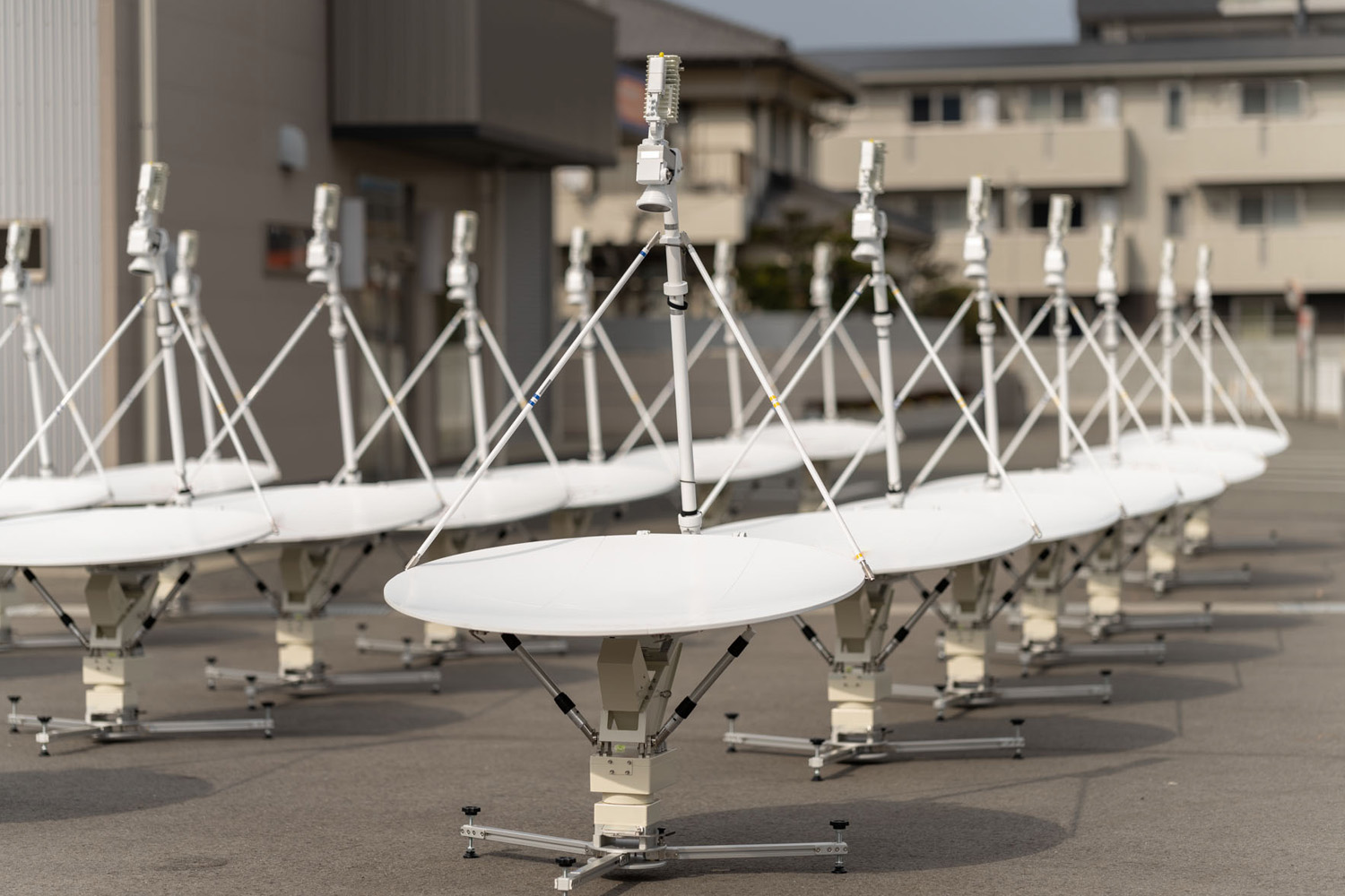
Undai for Satellite Communication
This antenna mount series was developed for rapid automatic direction adjustment, built with integrated GPS, tilt sensors, and a compass system. It features a polarization correction system that compensates the polarization angle for sloped terrain. We customize design and functionality to match on-site conditions and customer requirements.
Learn more →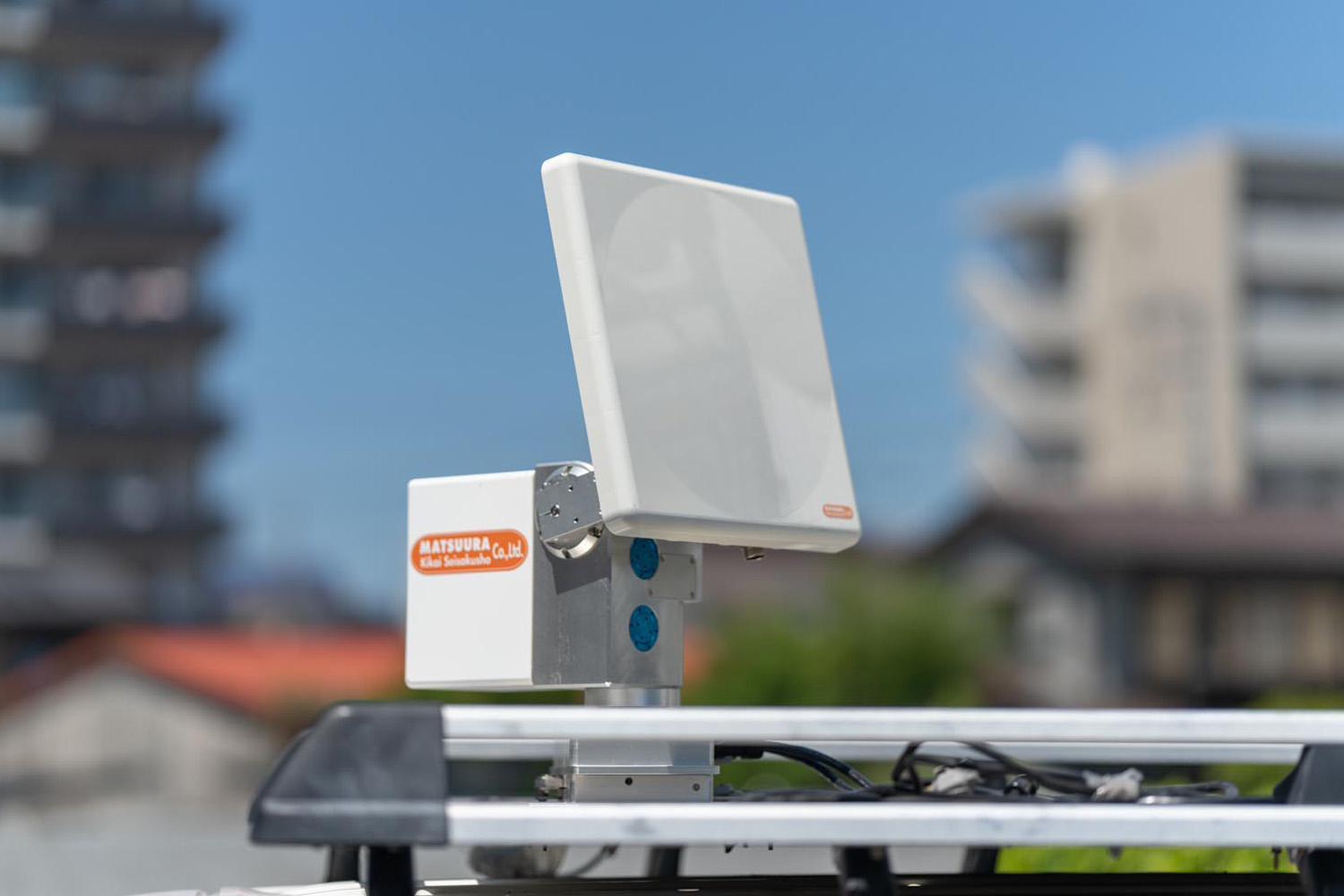
Auto-Pointing Undai
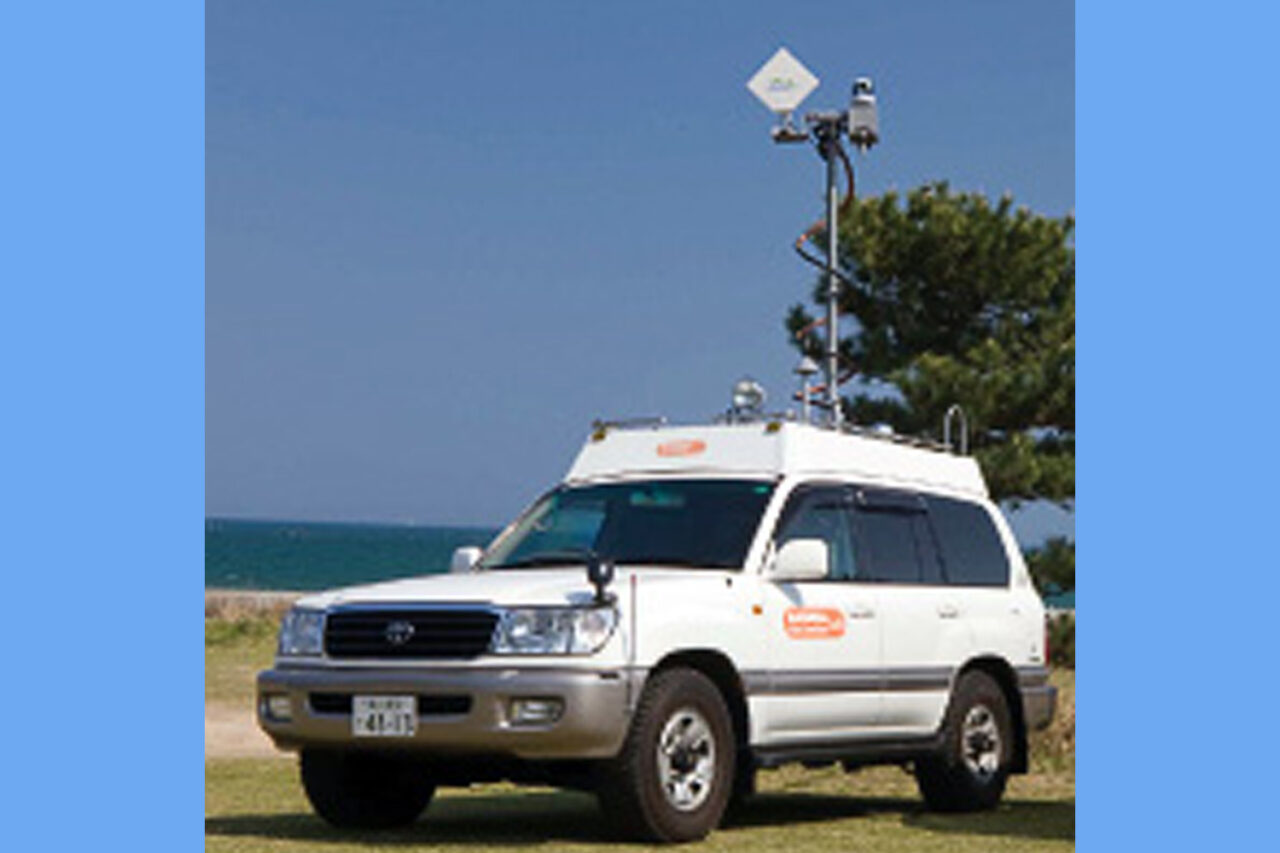
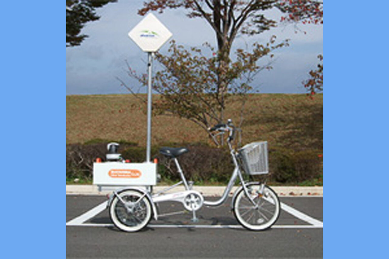
Our auto-direction-adjustment Undai is compatible with Wi-Fi antennas and can be used at both building-mounted and vehicle-mounted stations. Standard lineup software 'Auto Direction' and 'Peak Search' establish optimal communication conditions.
Learn more →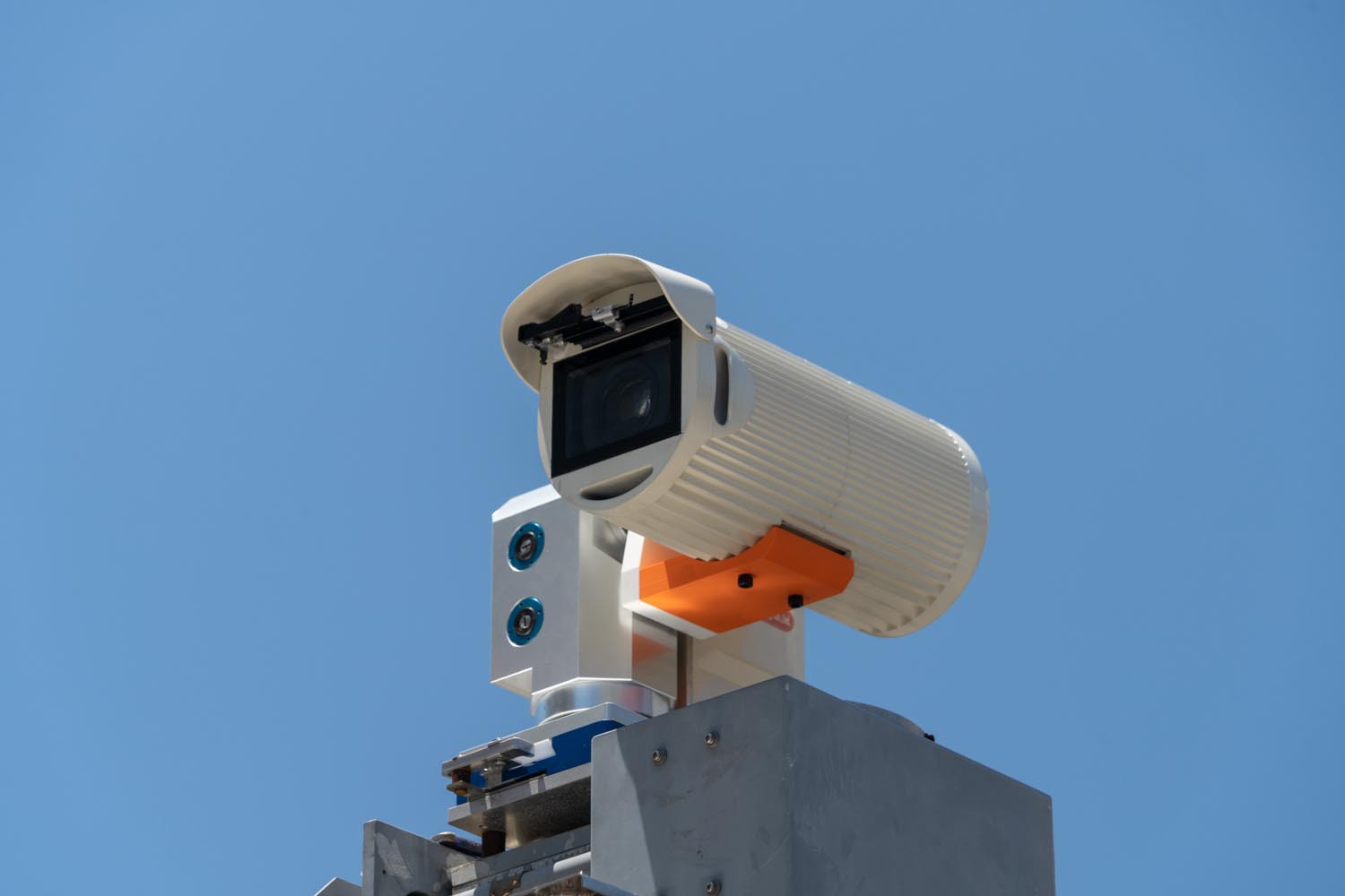
Undai for Surveillance Cameras
Designed for wide-area surveillance at critical facilities, coastal areas, and disaster response sites, this high-precision 2-axis drive unit provides smooth, accurate positioning for cameras and sensors. Built to perform quietly and dependably, it withstands extreme outdoor conditions like strong winds, intense vibration, salt corrosion, and freezing temperatures.
Learn more →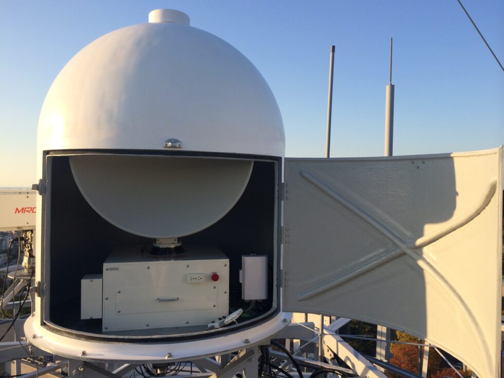
Broadcast FPU Rotation Undai
Designed to quickly and reliably capture video signals from mobile relay units and helicopters, this high-precision Undai operates from broadcast base stations and relay points. It maintains a stable, continuous lock on FPU transmissions from both fast-moving aircraft and distant ground vehicles.
Learn more →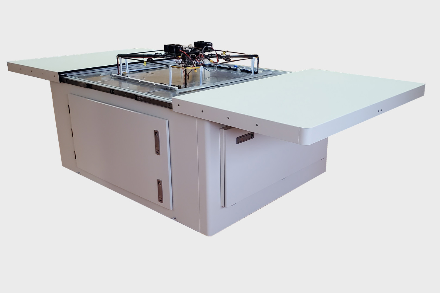
Drone Box
The Drone Box is an innovative drone platform designed for continuous drone operation. It allows tasks such as storage, protection, and charging of the drone during periods of non-operation to be handled remotely.
Learn more →Accessories
We provide the accessories your communication equipment needs, and can develop or modify accessories to match your requirements (radomes, tripods, antenna brackets, camera housings, and more).


Map Integration Software
This software uses Geospatial Information Authority of Japan map data to verify and diagnose in advance how terrain may affect communication. It automatically generates a detailed elevation profile (cross-section) between two specified points, letting you quickly and visually confirm whether obstructions such as mountains or hills are present. It also calculates the precise distance and bearing between two points, and can instantly retrieve latitude, longitude, and elevation data at any point on the map — a powerful aid for optimal wireless-coverage area design and antenna direction adjustment.


